

Map
Archive
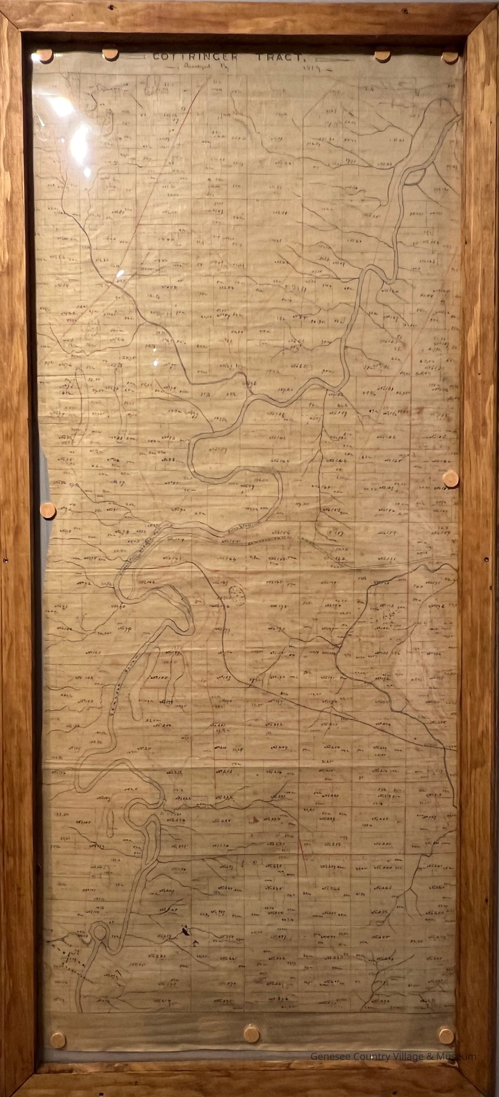
Map of "The Cottringer Tract - 1807". Red and black ink. Shows division of the 50,000 acre tract in Livingston County into lots and names of settlers. Surveyed by Elijah Johnson 1807. On upper right hand corner of back: "B16984672". Map was originally contained in tin map tube #76.81.1.
76.81.2
Tract purchased by Gerrit Cottringer in 1791 from John Hornby of Scotland who sold the half of it in alternate lots to his agent (John Greig of Canandaiguua) for the sale of them. It was surveyed and subdivided in 1807 by Elisha Johnson.
Genesee Country Village and Museum
1 map
Map of "The Cottringer Tract"
Johnson, Elijah
1807
38 in
16-1/4 in