

Map of the Genesee Valley Canal
2025.01.020
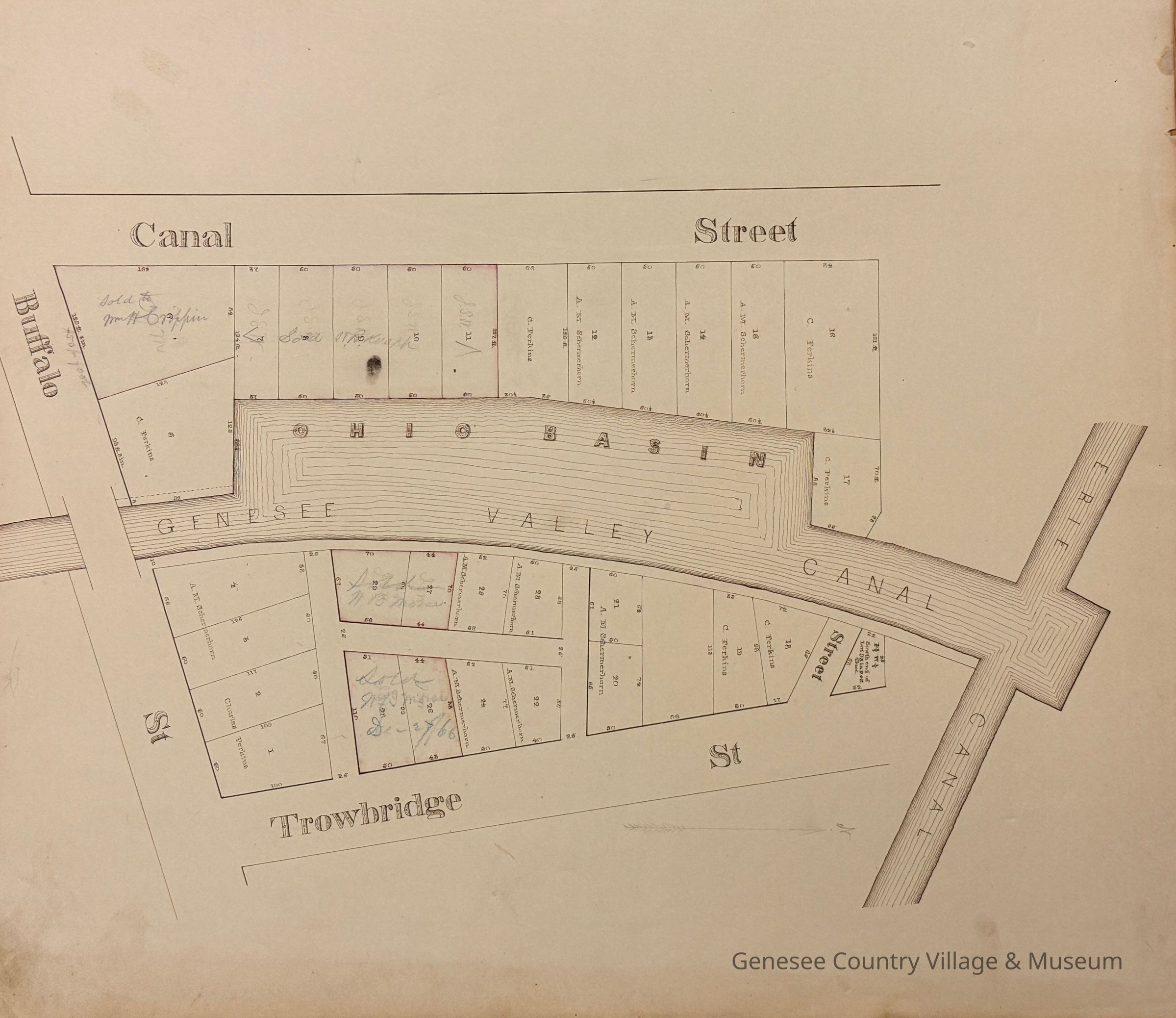
Map of the Genesee Valley Canal showing the Ohio River Basin and the junction of the Erie Canal. Map is hand drawn and indicates properties along the banks that have been sold and who they were owned by. One notation by one property says it sold for $50 per foot. The most prolific name on the properties is A. M. Schermerhorn.
This area was in downtown Rochester bordered by Canal Street, Trowbridge Street, and Buffalo Street (Now West Main Street).
Genesee Country Village and Museum
Rochester
New York
United States of America
North America
circa 1866
17 in
20 in
Rochester
New York
United States of America
North America